TrailFinder Testing
My recent work has involved the online trail database called TrailFinder. Emma Tutein, who works in land conservation for Cooperative Extension, is working to bring New Hampshire trails to this new platform. The website provides users with trail maps and information about access, usage, difficulty level, and trail features. Differing from other trail websites, TrailFinder provides information straight from the property owners and all trails are mapped in a uniform method. Some states, particularly Vermont and Maine, have published most of their trail information using this type of platform. After using the website and mapping some trails, I think these websites would be useful in every state to organize trail information and promote use.
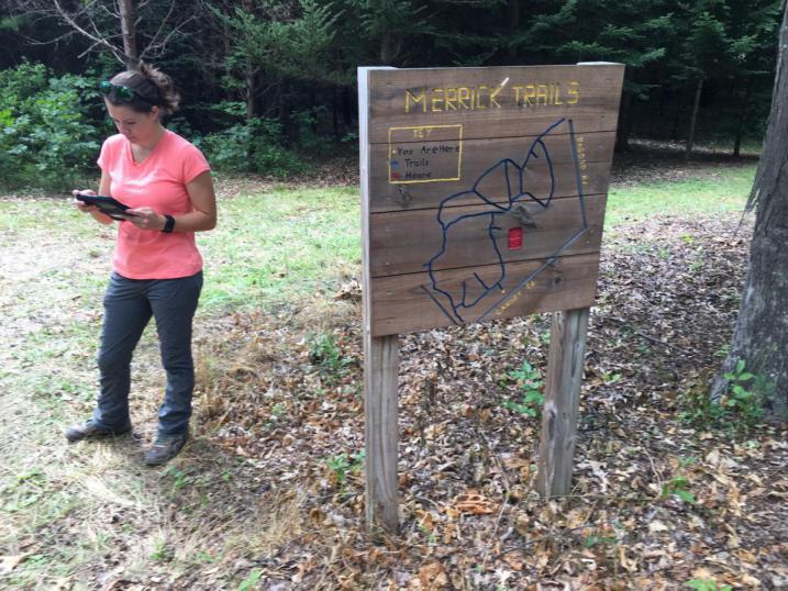
I worked with Emma and Cooperative Extension intern Maddie Dilonno to map trails in Durham, NH. To familiarize ourselves with the technology, we experimented with the TrailFinder website and the mapping application Track Kit. We hoped to develop an easy and efficient method for mapping trails that could be included in a training program for community volunteers. This will enable towns, land trusts, and other landowners to recruit these volunteers for mapping their trails. Cooperative Extension envisions all public trails in our region, and eventually in all of New Hampshire, to be published to TrailFinder.
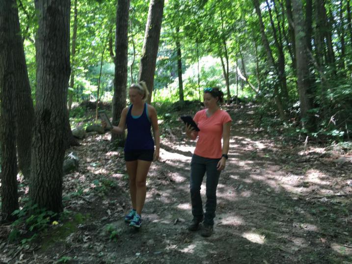
We set out on trails with iPads and found that mapping went much faster than we had expected! With the exception of pauses here and there to add data points, all we needed to do was walk the trail to map it! The app loads the satellite imagery with WiFi connection and then uses GPS while in the field to follow the user's path. I found that the app interface was simpler and easier to use than a hand-held GPS. The user has the option to set weypoints and include pictures to mark certain areas. We marked trailheads, junctions, wildlife viewpoints, and bridges. We also found this feature useful for marking areas in need of maintenance.
While walking trails we found some in Durham that are not well maintained, marked, or known. Maddie and I both found trails we didn't know existed so close to school! Many brought us to beautiful places that I definitely want to go back to! We're hoping that making these trails better known to the public will promote more frequent care. Large projects such as the trails in Oyster River Forest may need large-scale volunteer days to improve the trails and make them easier to follow. After talking to locals on the trails, we found there are many more frequent users than we had thought, who would be willing to help with maintenance. By recruiting these volunteers, our trails will be mapped, posted to TrailFinder for everyone to find, and very well taken care of.
Even after three years of living in Durham, I am frequently lost on the internet trying to find a day-trip hike in the White Mountains or an afternoon walk on a town trail. I'm very excited to see NH trails launched onto TrailFinder to make it easier to find local trails and bring people out to explore more of our beautiful state!