Following the Tracks: One Bear-Paw at a Time
“I’m lost.” Those words rang through my head time after time as I checked the compass and its bearings for the umpteenth time. My hands covered in dirt, cuts stretching up my arms, and my body sweating like I just took a shower I look at the map again to try and decipher where exactly I am in these ninety-four acres of forest surrounded by another 10,000 acres of state park forest.
I worked with Dan Kern at Bear-Paw Regional Greenways for the past two weeks. Bear-Paw is a small land trust started with the goal to connect two of southeastern New Hampshire’s great State Parks: Bear Brook State Park and Pawtuckaway State park. Committed to the conservation and protection of our land, water, wildlife, forests and farmland, Bear-Paw has expanded to several towns, conserving lands through conservation easements and purchase.
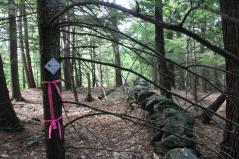
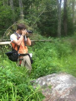
For two weeks I was to travel through several of these properties and build a baseline report for each; a compilation of photos of the boundary to highlight certain features, edges and corners. Like an overly packed mule, I carried a backpack, camera and GPS slung over my shoulder, an orange utility vest with a compass and flagging, a carpenters belt with a hammer and a pouch full of nails and medallions, and a clipboard carrying sheets of survey maps. I was dropped off at each property given directions and always a “good luck”. Off I went into the woods, photographing and posting medallions that read Bear-Paw Conservation Property.
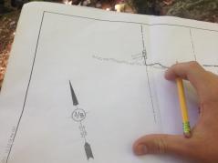
I spent my days hiking through woods, swamps, lakes and rocky hills, in areas wild from years without human activity. Like a treasure hunt, I walked along the boundaries looking for corners marked by a stone piles carried in by early settlers, and blazing (red paint used to mark boundaries) on trees from previous surveying jobs. There is a feeling of great uncertainty and a sense of awe and wonder when walking in the woods guided by a compass and a map. I walked mile after mile distracted only by the noises and movements of the forest.
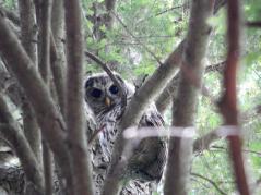
One time, I came upon a house where I met my fate with three dogs who decided to chase me down to the heart of the forest. Another time, I sunk to my knees in thick mud. I was even lucky enough to exchange looks with owls, deer, and a hungry fisher cat.
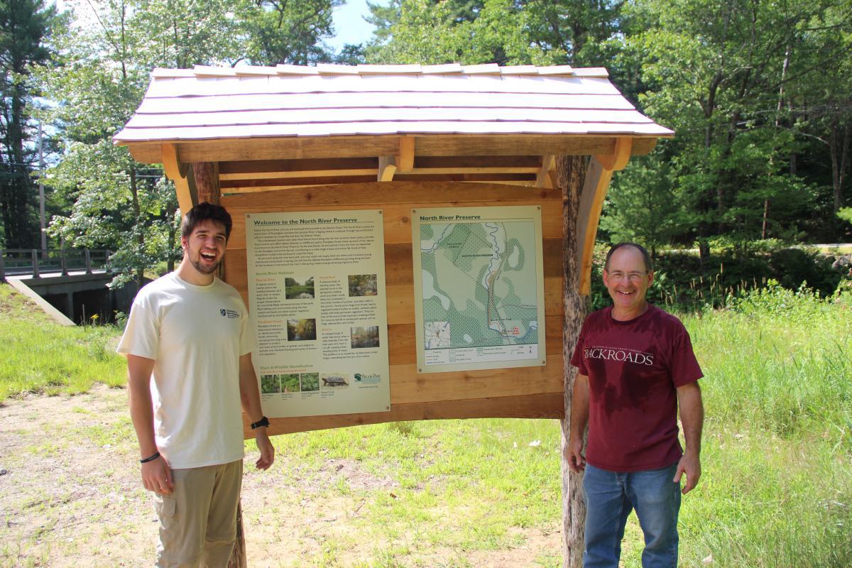
Working with Bear-Paw, I learned the process of surveying, as well as how to create and take baseline photographs and reports. I also had the pleasure of working on a new loop trail in Nottingham, called the North River Trail. The trail runs parallel to North River, and is now open to the public.
I felt like everyday was a new adventure that brought me to places seen by only a handful of people. It was a privilege to work with such a great organization. The experiences I had were unforgettable, and I hope that you will join me in discovering these hidden gems protected by Bear-Paw. I assure you the hike is worth it!
Click here to see a map of lands protected by Bear-Paw Regional Greenways.